We are the Palmer Lake Restoration Committee…
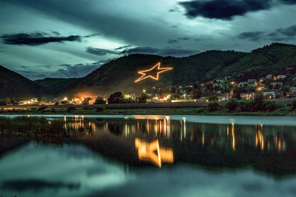
The purpose of The Palmer Lake Restoration Committee is to preserve and enhance our natural landmark Palmer Lake, and the beauty of its surrounding park land.
Our Mission:
- To salvage, restore and recreate the natural majesty of the namesake of our town.
- To prevent any future significant water dissipation due to drought and other natural causes.
- To enhance and update surrounding recreation areas.
The Palmer Lake Restoration Committee is a 501 (c) 3 not for profit group. #84-1360279.